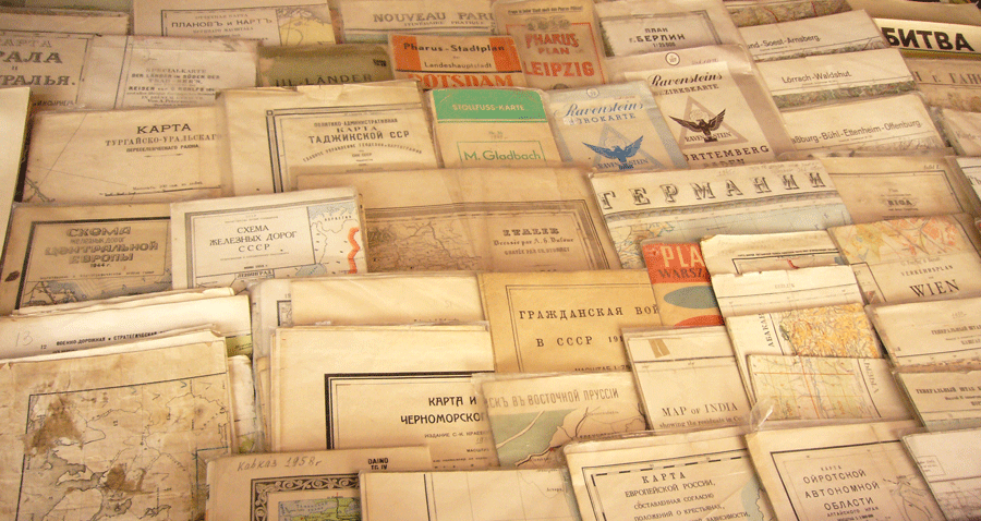
“What a useful thing a pocket-map is!” I remarked.
“That’s another thing we’ve learned from your nation.” said Mein Herr, “map-making. But we carried it much further than you. What do you consider the largest map that would be really useful?”
“About a six inches to a mile.”
“Only six inches!” exclaimed Mein Herr. We very soon got to six yards to the mile. Then we tried a hundred yards to the mile. And then came the grandest idea of all! We actually made a map of the country, on the scale of a mile to the mile!”
“Have you used it much?” I inquired.
“It has never been spread out, yet,” said Mien Herr: “the farmers objected: they said it would cover the whole country, and shut out the sunlight! So we use the country itself, as its own map, and I assure you it does nearly as well.”[smallfont]”Sylvie and Bruno Concluded”, Lewis Carroll[/smallfont]
the map and the territory

Leave a Reply